Click the Map | Create | Well Map command to create a new well map. The Open Collars File dialog is displayed, where you select the collars data from a data file or an open table. Only collars tables are displayed in the Use Open Table section of the Open Collars File dialog when creating a new well map. If a blank map view is available, the map is created in that map view, otherwise, the map is created in a new map view.
A Wells map layer contains the wells and well selector lines in the map. The wells that appear are in the same collars table.
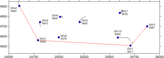
Each well from the collars table is shown as a symbol, with labels.
The map also shows a well selector as a red line.
New map containing a single Wells layer is created with the Map | Create | Well Map command. Additional Wells layers can be added to the existing map with the Map | Add | Well Layer command. Click the Map | Add | Well Layer command or right-click on an existing map and choose Add | Well Layer to add a new Well Locations map layer to an existing map. Creating multiple Wells maps allows wells from different collars files to be displayed on the same map. It also allows different schemes to apply to different types of wells.
If the properties of the Wells layer should be the same as the other objects in the Map, the wells properties can be edited by clicking on the Map in the Object Manager and editing the properties in the Property Manager. This changes the properties for all layers in the map.
If the properties of the Wells layer should be different than other objects in the Map, the Wells map layer should be selected. When the properties are edited while the Wells layer is selected, all of the objects in the wells layer are changed to reflect the new properties.
The sub-object well selector line and wells can be selected individually in the Object Manager and edited in the Property Manager.
Wells layers have different properties available. The possible properties listed in the Property Manager are:
Occasionally, a Wells layer will not update properly, leaving a deviation path for the well, but removing the well symbol when changing the visibility of an individual well in the Object Manager. When this happens, there are two things that can be done to make the wells appear correct:
Click on the Wells layer and click the Deviation Path tab in the Property Manager. Uncheck the box next to the Show Deviation Path option. Recheck the box and the well will appear correctly.
Click the File | Options command. Click on General on the left side of the dialog. On the right side, check the box next to Reload Data When Opening Project. Close the file and reopen it. The wells will display properly.
See Also