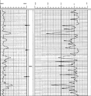
Click the Log | Create Log | Unregistered Raster command to add an unregistered raster log. An unregistered raster log is a scanned image of a paper or electric log without depth-registration information. After adding the unregistered raster log, the depth registration mode is activated. It is easy to register the raster log with Strater. Once the depth registration is complete the log can be used in cross sections and modified with the properties in the Property Manager.

Unregistered raster logs can be added to the borehole
view, depth registered, and used in analysis.
Unregistered raster logs can be created from any of the supported raster or image file formats. Once the depth registration is complete, the log becomes a registered raster log, and a range table is created for the raster log. If you also specify layers for the raster log, a layer mark table is created. Raster logs should be created from a single image. See the Create a Raster Log from a Multi-Page PDF help topic for an example on how to stitch together multiple images for use as a raster log.
To create an unregistered raster log:
Click the Log | Create Log | Unregistered Raster command.
Click in the log pane where you want the unregistered raster log to appear.
In the Import dialog, click the raster/image file and then click Open. The raster log is added to the log pane and depth-registration mode is enabled.
Depth register the raster log. Click the preceding link for detailed depth-registration instructions.
Press ENTER to save the depth-registration specifications for the raster log.
In the Log Registration Table dialog, specify a Hole ID and Table name.
Click Save to complete the depth registration.
A range table is created from the depth-registration settings. The log is cropped, if applicable, and displayed in the log pane. The raster log is now registered and can be used in cross sections and edited with the raster log properties. You can cancel the depth-registration process by pressing ESC, selecting a different object or view, selecting a command, or exiting Strater. When the depth registration is cancelled before the log has been registered, the default registration settings are used for the depth-registration. If you cancel the depth-registration mode on a raster log that has been previously registered, any changes are ignored and the depth registration is returned to the previous settings.
If desired, you can add layer marks to the raster log. A layer marks table is created after you are finished adding layer marks.
A range table is created once the depth-registration is complete. The range table can be exported to a data file with the File | Export Data | Worksheet command. The data file can then be used to create registered raster logs.
The Undo command must be used at least twice to completely remove an unregistered raster log. The first time you click Undo or press CTRL+Z, the Hole ID filter, Range table, Layer mark table, and Layer mark column properties are cleared on the Log page in the Property Manager. The second time you use the Undo command, the registration First reference depth and Second reference depth values on the Log page are returned to the default value, or the log may be removed. If necessary, the third time you use the Undo command the log is removed from the view. The Undo command will not delete any range or layer mark tables you created during the raster log creation process.
It is much faster to select the log in the Object Manager or view window and press DELETE to remove the raster log. The range and layer marks tables can be deleted by right-clicking the table in the Table Manager and selecting Delete.
Raster logs are edited by changing properties in the Property Manager. Unregistered raster logs become registered raster logs once the depth-registration process is complete. The properties are the same for both raster log types. To change the appearance and data settings for a raster log, click the log in the Object Manager or borehole view. The properties are displayed in the Property Manager.
The following pages are displayed in the Property Manager.
See Also
Depth Registering a Raster Log